
Sustainability 2.0: Using Live World Map Satellite View to Build Responsible Ventures
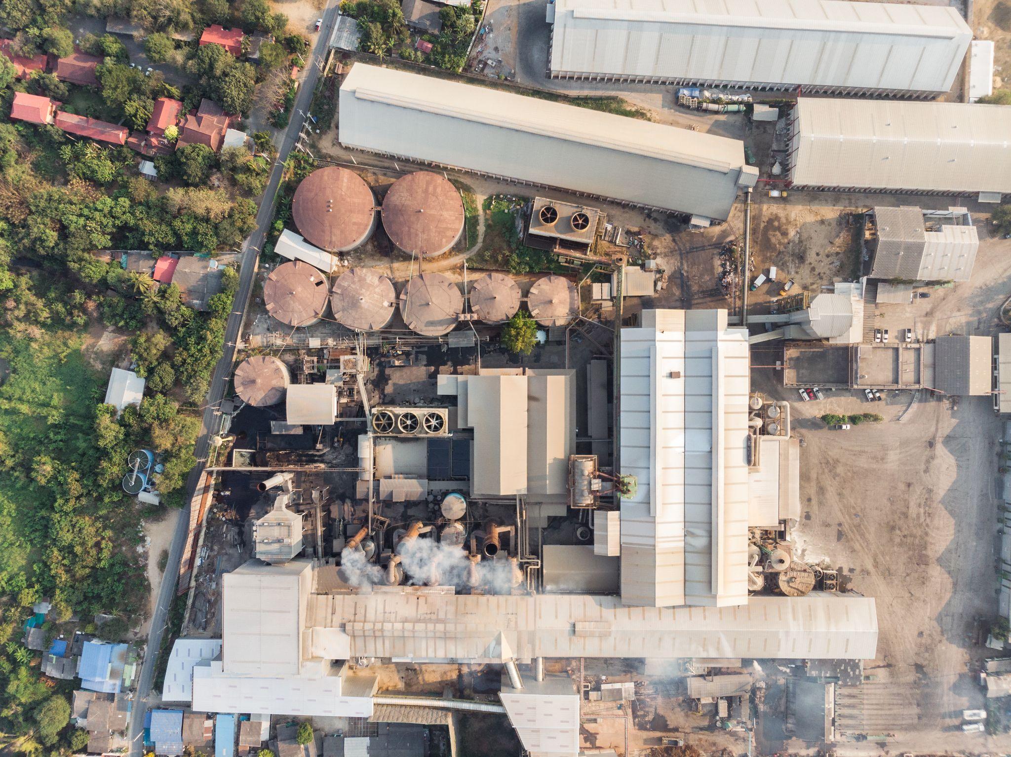
We used to just take a company’s word for it when they printed a green leaf logo on their packaging. Those days are over. Today’s buyers and investors expect hard, undeniable proof, and that shift is driving what we call Sustainability 2.0. If you are building a purpose-driven startup, you no longer have to compromise between making a profit and protecting the planet, because you can literally verify your impact from orbit.
Using live world map satellite view is no longer a multi-million dollar luxury reserved for government agencies. It is an everyday tool for entrepreneurs. A founder sitting in a coffee shop can now pull up overhead data to prove their operations are genuinely sustainable, instantly cutting through the usual marketing fluff. While older, legacy brands are stuck waiting for slow, paper-based audits, agile startups are using space-based transparency to show exactly what they are doing, the moment they do it.
Supply Chain Transparency: Proving Your Claims from Orbit
Supply chains have always been a bit of a black box. A coffee company could easily claim its beans were sustainably harvested, but verifying what was actually happening thousands of miles away was basically impossible. Today’s founders are fixing that. By pulling live satellite view directly into their tracking systems, businesses are literally keeping an eye on their supplier networks from space.
This tracking system is caused not only by ethics, but also by strict law requirements. New frameworks like the European Union Deforestation Regulation (EUDR) now require exact geolocation data if you want to import high-risk commodities into the EU. This covers goods like:
- Coffee and cocoa
- Soy and palm oil
- Rubber and timber
Paper audits and a supplier’s “word” just won’t cut it anymore. Instead, startups are mapping out the precise boundaries of smallholder farms from orbit to guarantee their supply chains are 100% deforestation-free.
The financial payoff for this kind of radical transparency is huge. Shoppers are tired of meaningless green leaf stickers, but they will gladly open their wallets for real data. According to a global PwC survey, 80% of consumers are willing to pay higher prices for sustainable goods if sustainability claims are met.
Precision Resource Management and Waste Reduction
We use about 70% of the world’s freshwater just for agriculture, and frankly, we waste way too much of it on inefficient watering systems. If you’re building an AgTech startup today, guessing when and where crops need water just isn’t going to cut it. By plugging data straight into a live satellite view app, founders can measure soil moisture and watch local reservoirs drop in real time. This allows platforms to tell farmers exactly which fields need watering and which don’t, saving a precious resource while actually boosting crop yields.
This overhead perspective is also cleaning up the waste management industry. Every year, millions of tons of trash are dumped illegally, quietly poisoning local soil and groundwater. Startups are tackling this head-on by training algorithms to keep a watchful eye on remote landscapes automatically. Now, when city officials or private waste firms log in to view live satellite images, they can spot the very beginning of an illegal landfill and shut it down before it turns into a multi-million-dollar cleanup job.
Lowering the Barrier to Entry for Carbon Verification
The voluntary carbon market has a serious credibility problem right now. Recent investigations revealed that millions of paper-based carbon offsets were essentially junk, linked to “phantom” forests that burned down years ago or never existed in the first place. A new wave of startups is stepping in to repair that broken trust using hard data. By pulling live satellite imagery, founders can verify actual reforestation progress and track biomass growth almost tree by tree, entirely from space.
And you don’t need a Fortune 500 budget to pull this off. Founders can easily get live satellite images at zero cost through open-access government programs like the European Space Agency’s Copernicus Sentinel missions or NASA’s Landsat. The traditional barriers to entry are simply gone.
Conclusion: The Ultimate Unfair Advantage
Today, if you want to build a business that will actually matter, space data is your advantage. It lets even a five-person team compete with billion-dollar companies because of their outdated sustainability reports. When you can point your customers to a live satellite view of Earth, you instantly win over buyers who are completely burnt out on empty PR campaigns. The climate crisis is terrifying, but it also opens the way for founders who are willing to be radically honest. Sustainability 2.0 isn’t about writing a cute mission statement; it’s about proving your work. And today, you can literally pull that proof straight from space.